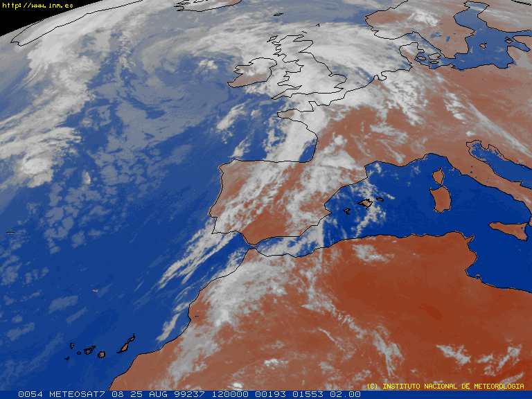
| Located at about latitude +28 deg N and longitude 15 deg W, the Spanish Canary Islands form an archipielago made up of 7 "big islands" and 6 islets in the Atlantic Ocean. The nearest island to Africa is at only 108 km from the northwestern African coast (cape Jubi), contrasting with the maximum distance within the archipielago, which is 485 km. Geographically the islands are part of the African continent but from a historical, economical, political and socio-cultural point of view, the Canaries are completely European. |
Click on the island of Tenerife to see a more detailed
map
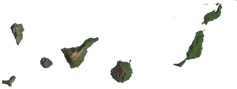
| Physically, the Canaries fall into two groups: The western group, made up of La Palma, El Hierro, La Gomera, Tenerife and Gran Canaria, consists of volcanic mountain peaks that rise directly from the deep ocean floor. The eastern group comprises Lanzarote, Fuerteventura and the six islets. These are flatter islands emerging from a single submarine plateau (the Canary Ridge) that rises 1400 m from the ocean floor. The Canary Islands were formed after many volcanic eruptions millions of years ago. All the western islands exceed 1200 m at their highest points, with Teide peak (a volcano on Tenerife) rising 3718 m (the highest peak on Spain). |
Send Comments to Pablo Rodríguez Gil: prguez@ll.iac.es
Last modified: 26 Aug 04:30:00 GMT 1999